Subway & Rail Stations
-
Winthrop Street Trains: NYC Subway950 ft
-
Sterling Street Trains: NYC Subway0.2 mi
-
President Street–Medgar Evers College Trains: NYC Subway0.6 mi
 NYC Buildingsby CleanWhale
Book Cleaning
Two-Family Frame Residence · Crown Heights · BBL 3-05036-0050
Crown Heights, Brooklyn, NY 11225 · BBL 3-05036-0050 (Block 5036, Lot 50)
NYC HPD Violations & Complaints · Local Law 84 / Local Law 33 Energy Benchmarking · BBL 3-05036-0050
NYS DEC JHS 126 Williamsburg · NYCCAS South Crown Heights and Lefferts Gardens (CD9) · FEMA Flood Map & NYC Emergency Management
NYC Department of Sanitation · District BKN09 · Section BKN093
NYC Department of City Planning (PLUTO 26v2) · NYC Department of Finance · NYC Department of Buildings
Nearest MTA stations, bus stops, grocery stores, pharmacies, schools & parks (OpenStreetMap NYC)
CleanWhale NYC · Brooklyn
 Fios 300 Mbps – 1 Gig Symmetrical Fiber
100% FTTH Fiber-Optic
up to 1000 Mbps
No annual contract
$64.99 / mo
Details ▾
 Optimum 500 Mbps – 1 Gig Fiber / Coax
FTTH Fiber / DOCSIS 3.1 (Official NYC Cable Franchise)
up to 1000 Mbps
No annual contract
$60 / mo
Details ▾
Electric grid: Consolidated Edison (Con Edison — Zone J NYC) · Gas utility: National Grid Downstate NY · NY PSC Power to Choose ↗
 Lemonade
 State Farm
 Allstate
 Travelers
 Chubb Masterpiece
NYC Neighborhood Ecosystem · Crown Heights
Verified neighborhood data for Brooklyn · within 10 mi (15 km)
Top-Rated CleanWhale Specialists (Brooklyn)
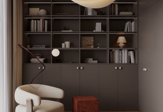 No-Fee Rent
1BR · 660 sq ft
Renovated 1BR off Franklin Ave Shuttle & Eastern Pkwy
$2,890
/ mo
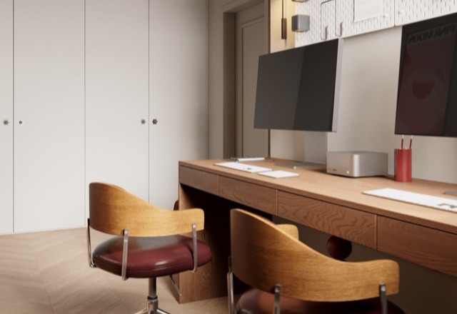 Co-op Sale
2BR · 960 sq ft
Limestone Parlor-Floor 2BR half block from Prospect Park
$1,245,000
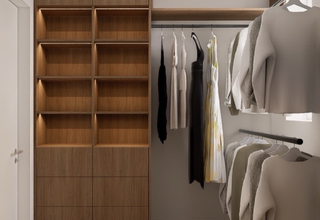 No-Fee Rent
2BR · 920 sq ft
Quiet Pre-War 2BR near Brooklyn Heights Promenade & 2/3/4/5
$4,450
/ mo
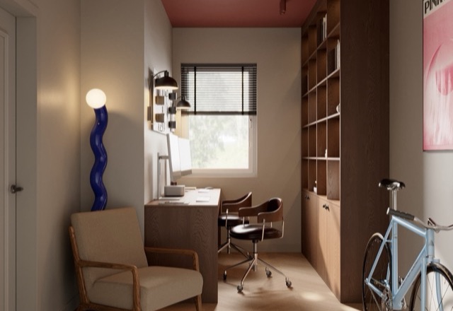 No-Fee Rent
1BR · 710 sq ft
Modern Balcony 1BR steps from Bedford Ave L Train & McCarren Park
$3,850
/ mo
 Condo Sale
2BR · 910 sq ft
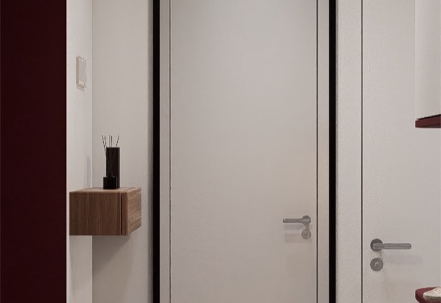
Boutique Brownstone Garden Duplex with Private Backyard
$895,000
 Co-op Sale
1BR · 780 sq ft
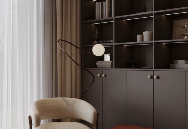
Oversized Shore Road 1BR Co-op with Harbor Breeze
$425,000
Nearest NYC Dog Runs & Off-Leash Parks
Kensington Dog Run 1.3 mi Greenwood Playground Dog Run 1.5 miVeterinary Clinics & Animal Hospitals
Heart of Broooklyn Veterinary Hospital 0.6 mi Crown Heights Animal Hospital 1.0 miOfficial NYC Municipal Portals for BBL 3-05036-0050
NYS PSC electric & gas territories, NYC OTI cable franchise & city agencies serving 291 Rutland Road
Verified answers from NYC Planning PLUTO 26v2, NYC DOF & CleanWhale NYC
291 Rutland Road (Crown Heights, Brooklyn, NY 11225) is classified by NYC Department of Finance / PLUTO as B2 — Two-Family Frame Residence. The structure has 2.8 stories (1–2 Family Private). It contains 2 residential units. Gross building floor area is 2,968 sq ft (276 m²) on a 3,000 sq ft tax lot.
The official NYC Borough-Block-Lot identifier for 291 Rutland Road is BBL 3-05036-0050 (3050360050; Brooklyn Block 5036, Lot 50). PLUTO records its construction year as 1899. It lies in NYC Zoning District R6 (C2-3) with a built FAR of 0.99. NYC DOF total assessed value is $108,600.
Wireline internet and fiber providers serving the franchise area of 291 Rutland Road (Crown Heights, Brooklyn, NY 11225) include Verizon Fios, Optimum by Altice. Under NYC Office of Technology & Innovation (OTI) cable franchise boundaries, Optimum by Altice is the designated cable franchisee for BBL 3-05036-0050 (Community District 309). NYC Internet Master Plan census-block records report speeds up to 940 Mbps across 2 residential broadband carriers and 3 commercial fiber providers on the block. In ZIP Code 11225, household broadband adoption is 68.3%.
According to NYS Public Service Commission service territory boundaries for 291 Rutland Road (BBL 3-05036-0050, Crown Heights, Brooklyn, NY 11225), electric service is delivered by Consolidated Edison (Con Edison — Zone J NYC) and natural gas service is provided by National Grid Downstate NY. Municipal water and sewer are operated by NYC Department of Environmental Protection (NYC DEP), and refuse/composting collection is managed by NYC Department of Sanitation (DSNY).
NYC DOB NOW Elevator Safety Compliance lists 0 active elevator devices on BBL 3-05036-0050 (1–2 Family Private). NYC Department of Buildings job filings record 3 alteration/renovation applications (Alt-1/Alt-2/Alt-3 & DOB NOW), most recently filed in 2000. The building is recorded under NYC HPD jurisdiction (2 Class A units).
NYC Housing Preservation & Development (HPD) records 9 open Housing Maintenance Code violations at 291 Rutland Road (BBL 3-05036-0050), including 0 Class C immediately hazardous, 5 Class B hazardous, and 4 Class A non-hazardous items. Buildings under 25,000 gross sq ft (or exempt tax lots) are not required to post an NYC Local Law 33 Energy Efficiency Grade. Official NYC DSNY collection (BKN093): trash pickup on Mon, Wed, Fri, recycling on Wed, and curbside composting on Wed.
According to OpenStreetMap NYC data around 291 Rutland Road (Crown Heights, Brooklyn, NY 11225), nearby amenities include subway & rail stations: Winthrop Street (950 ft); mta bus stops: Nostrand Avenue & Rutland Road (250 ft); supermarkets & grocery: Key Food (0.2 mi); pharmacies: Nostrand Ave. Pharmacy (100 ft).
Through CleanWhale NYC (cleanwhale.us), a standard 1-bedroom, 1-bathroom apartment cleaning at 291 Rutland Road is $153.99 flat-rate, deep cleaning is $214.39, upholstery cleaning starts at $152.99, and handyman service starts at $152.99.
CleanWhale NYC · All 5 Boroughs
Transparent USD flat pricing, background-checked NYC pros, all eco-safe supplies included, and CleanWhale Protect guarantee.

